 --
Vie e luoghi dell’Etruria nella tabula Peutingeriana.
--
Vie e luoghi dell’Etruria nella tabula Peutingeriana.
A cura di Francesco Prontera. Firenze, Olschki Ed.
2003,
cm.30x35,5,
pp,II,68 pp. con 22 figg. n.t. e 1 pieghevole a color
i di cm. 160 x 29. Rilegato in seta.,
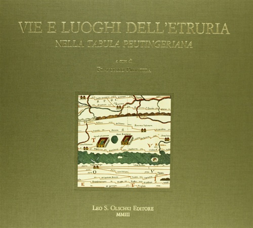
Tabula Peutingeriana. Le antiche vie del mondo:La riproduzione della più antica carta stradale del mondo pervenuta a noi: fu disegnata intorno al IV secolo dai Romani, che vi tracciarono i vasti confini dell’Impero, anche per seguirne l’espansione milita
Tabula Peutingeriana. Le antiche vie del mondo:The reproduction of the world’s oldest street map in existence: drawn by the Romans sometime in the 4th century, it marked out the vast territory of the Empire, as well as keeping track on military expansion
EAN:
9788822252746